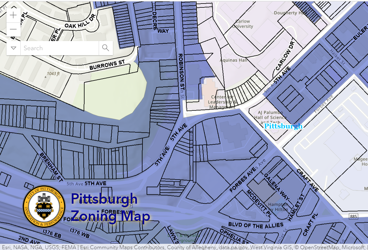
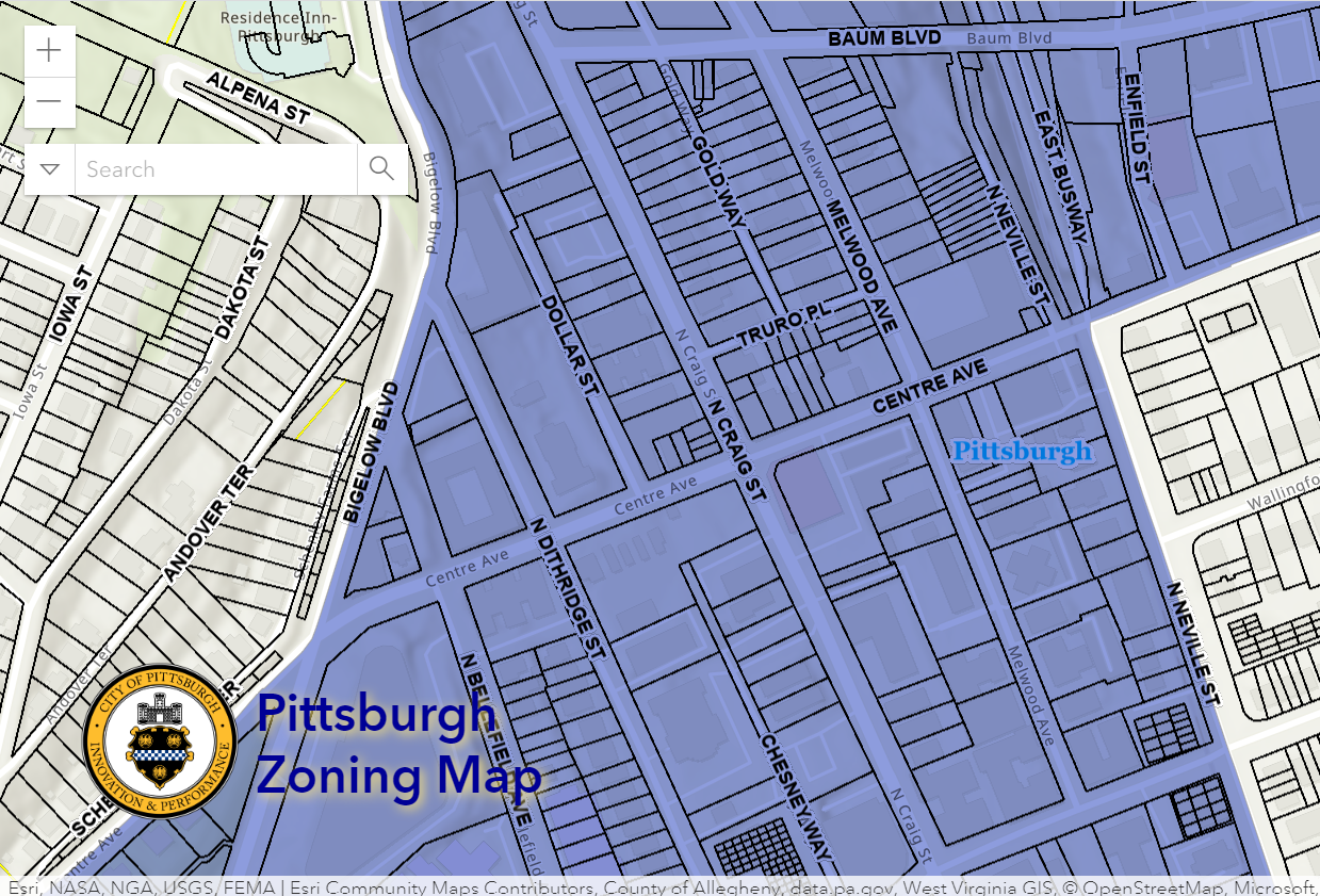
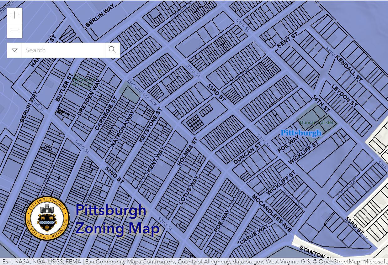
Pittsburgh Zoning Map - Inclusionary Housing Overlay
By Carolyn Ristau
Introduction
Pittsburgh’s interactive zoning map includes many layers besides the zoning districts, most of which relate to requirements within or adjacent to the zoning code. For an overview on how to use the interactive zoning map, see our introductory post.
To select different layers, click the stack of paper in the upper right corner. The layers available are listed below. Today’s post features the Inclusionary Housing Overlay, pictured above and in bold text below.
Zoning
Zoning Districts
Zoning Districts Outlines
Zoning Max. Height Overlay
Height Reduction Zone Overlay
1500’ Major Transit Buffer
Parking Reduction Areas
North Side Commercial Parking Prohibited Area
Baum Centre Zoning Overlay
Inclusionary Housing Overlay District
RCO (Registered Community Organization) Areas
City Divisions
DPW Divisions
Neighborhoods
Council Districts 2012
Council Districts 2022 (Current)
Wards
Historic Preservation
Mexican War Street Historic Boundary
Individual City-Designated Properties
Pittsburgh City Historic Districts
Environment
RIV Riparian Buffer (125 Feet)
Stormwater Riparian Buffer
Floodplain Areas
Landslide Prone
Potential Steep Slopes Overlay Area
Undermined Areas
Addresses
Allegheny County
City Boundaries
Imagery 2021
The Inclusionary Housing Overlay
Overview
This layer of the interactive zoning map identifies the areas of Pittsburgh where the inclusionary housing regulations apply. As currently depicted, this layer is not clickable. The best method for determining if a property is within the Inclusionary Housing Overlay is:
start with the homepage view of the interactive zoning map
turn off the Zoning Districts and Zoning Districts Outlines layers
turn on the Inclusionary Housing Overlay layer
navigate to the property in question
if the property has the blue/purple film of the Inclusionary Housing Overlay than it is within the boundaries
Relationship with Zoning
Inclusionary Zoning is a small, but popular, tool that municipalities have used to try and address the affordable housing crisis. In Pittsburgh, this approach is currently applied only to the portions of the city identified in the Inclusionary Housing Overlay. Any project within this overlay that is a new construction or substantial renovation of 20 or more dwelling units or sleeping room is required to provide 10% of the units or rooms for individuals or families with incomes at or below 80% of AMI (area median income).
There are a number of steps and requirements to comply with this requirement found in Section 907.04 of the zoning code. This section also includes an alternative option for off-site inclusionary housing when on-site provision is not feasible.
Challenges
This layer is not clickable, which means it is harder to identify if a property is impacted by it. The only way to tell is to navigate to the property in question and see if it is within this layer. It will be easiest to do with the zoning districts layer off.
The regulations themselves require additional documentation and paperwork during the application process and require continued compliance for at least 35 years after construction is complete.
There are a number of specific terms and phrases used in this section that may require jumping between the regulation and the defined terms at the beginning of the section multiple times to fully understand the requirements.
Conclusion
The Inclusionary Housing Overlay is a tool to increase the amount of affordable housing available across Pittsburgh. The interactive zoning map is the best way to identify if a property or properties is subject to the requirements of this overlay. If a property or combination of properties are within this overlay and the project includes 20 or more units or sleeping rooms, then a minimum of 10% of the units or sleeping rooms must be affordable housing in compliance with the regulations of this overlay. Additional documentation will be required to show compliance.


